History of Mt Albert
Early History
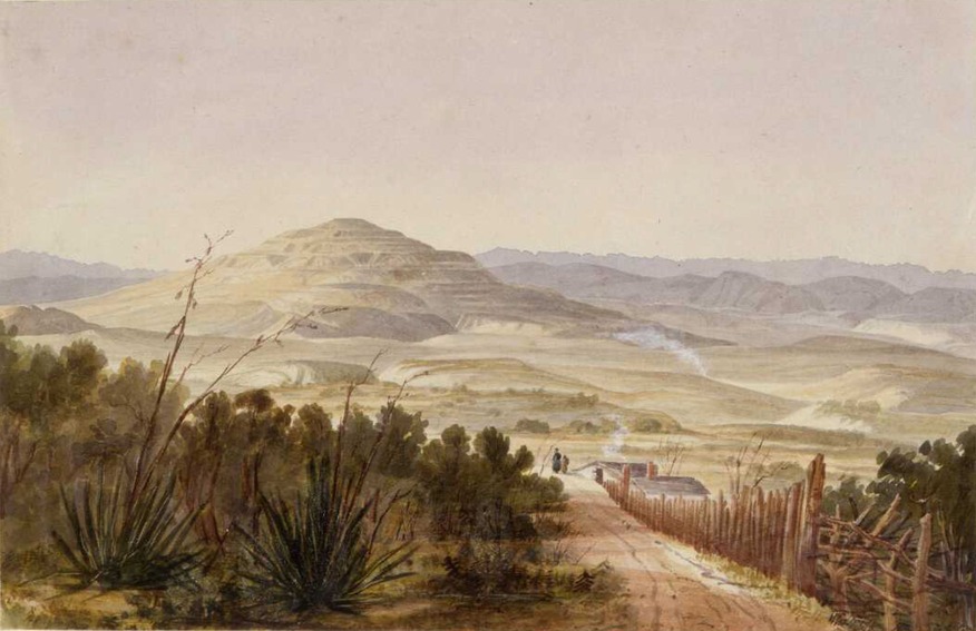
One of the earliest names for the volcano was Te Puke o Ruarangi (The Hill of Ruarangi), linked to a story of the Patupaiarehe chief Ruarangi escaping through lava tunnels. Other names include Te Ahi-kā-a-Rakataura (“the long burning fires of Rakataura”), referring to the explorer’s settlement, and Ōwairaka, named after Wairaka, daughter of Toroa of the Mātaatua canoe, who fled to Auckland and established her people on the volcano.
By the 18th century, the Auckland isthmus was dominated by the Waiohua confederation, with Ōwairaka as their westernmost hilltop pā. After conflict, Ngāti Whātua took over, but with fewer people they preferred coastal living, leaving the area less used. Oakley Creek remained important for food like crayfish and eels, and for flax and raupō used in weaving.
In 1820, missionary Samuel Marsden climbed Ōwairaka with Ngāti Whātua chief Apihai Te Kawau. During colonisation, the mountain was renamed Mount Albert after Queen Victoria’s husband.
European settlement
In 1841, Ngāti Whātua sold Mount Albert as part of a 12,000-acre block to the Crown. The rugged land slowed development, though estates for wealthy settlers soon appeared, with homes like Alberton and Ferndale House. New North Road, built in the 1860s, improved access and encouraged growth.
Local institutions followed. The Mt Albert Methodist Church opened in 1866, and that same year the Mt Albert District Highway Board was formed. Disputes over rates led Eden Terrace to break away in 1875. Mt Albert School, the first in the area, opened in 1870 on land gifted by John McElwain. Prominent families, such as Allan and Sophia Kerr Taylor, shaped early social life, with their Alberton mansion becoming a hub for community gatherings.
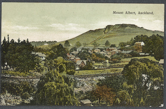
The opening of the Mount Albert railway station in 1880 spurred suburban expansion, doubling the population within a decade. A quarry on Ōwairaka provided stone for Auckland’s growth but drew protests from residents worried about damage to the mountain. Despite petitions, quarrying continued until 1928, though the summit was set aside as public land in 1905.
Suburban development
By the 1910s, Mount Albert was one of Auckland’s fastest growing suburbs, attracting business families who built large homes while commuting to the city. The population reached 6,666 in 1911, and King George V Hall opened the following year as a social hub. Though still semi-rural with dairy and poultry farms, growth accelerated when the tramline arrived in 1915, spurring the rise of the Mount Albert shops, known then as the Terminus.
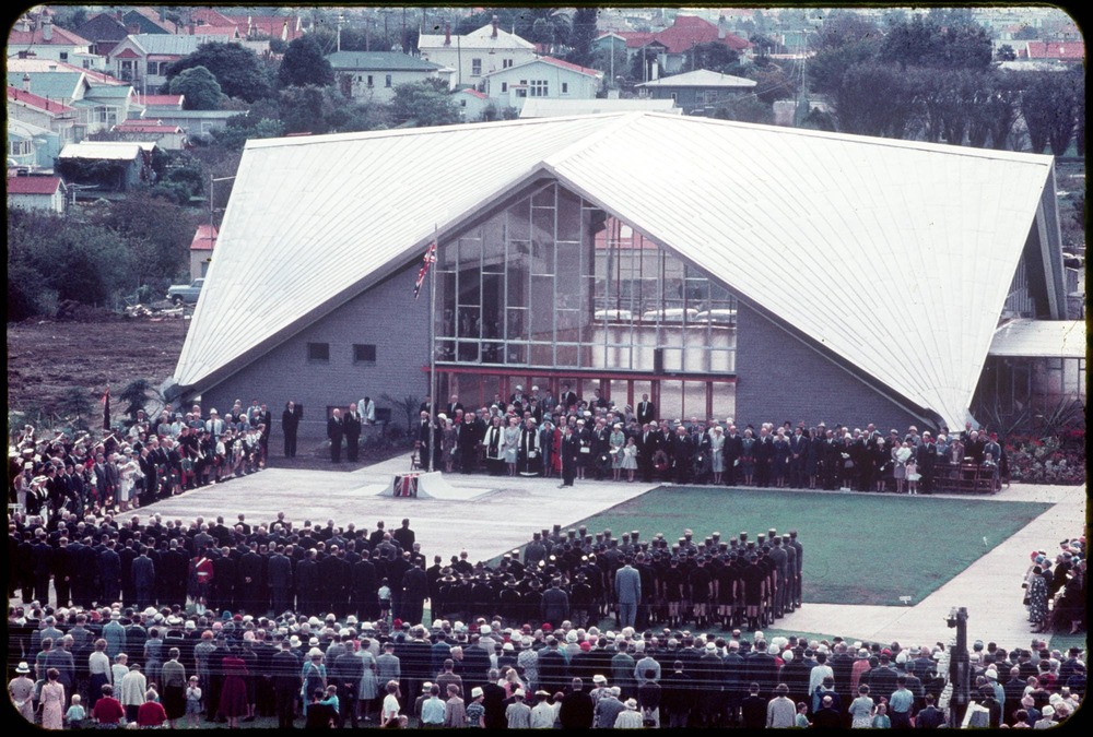
The borough, created in 1911, invested heavily in water supply, and population surged from 2,035 in 1901 to 20,600 by 1931, making it New Zealand’s largest borough. After World War II, state housing estates, including Stewart Estate, were built to ease the housing shortage. The shopping village thrived in the 1950s and 60s, supported by a largely older population, while the Mount Albert War Memorial Hall opened in 1961.
From the 1950s, Māori and Pasifika communities grew in the area, joined by increasing migrant communities in later decades. The shops declined in the 1970s with the opening of St Lukes mall, but by the 1990s Mount Albert had become a multicultural centre, home to growing Indian, Sri Lankan, and Chinese populations supported by local institutions like Unitec and the Auckland Institute of Studies.